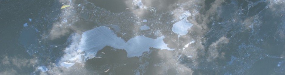

This is a map I made a while back using data that Proteus Gowanus shared with me. It shows the extent of the waterway at the time of Dutch settlement, the former Native American settlements, paths and agricultural areas overlaid with the current extent of the canal.